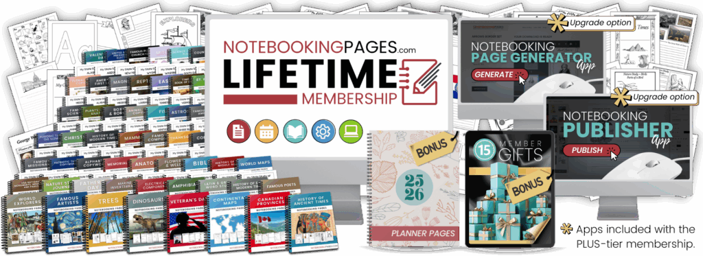
Our Geography & Maps Notebooking Pages include 50 individual USA state study notebooking sets, 13 individual Canadian province study sets, and nearly 200 individual country study notebooking sets. Along with the state, province, and country maps included in each set, you will also find black-line continental maps and a variety of world maps to round out your geography studies.
USA State Study Notebooking Pages
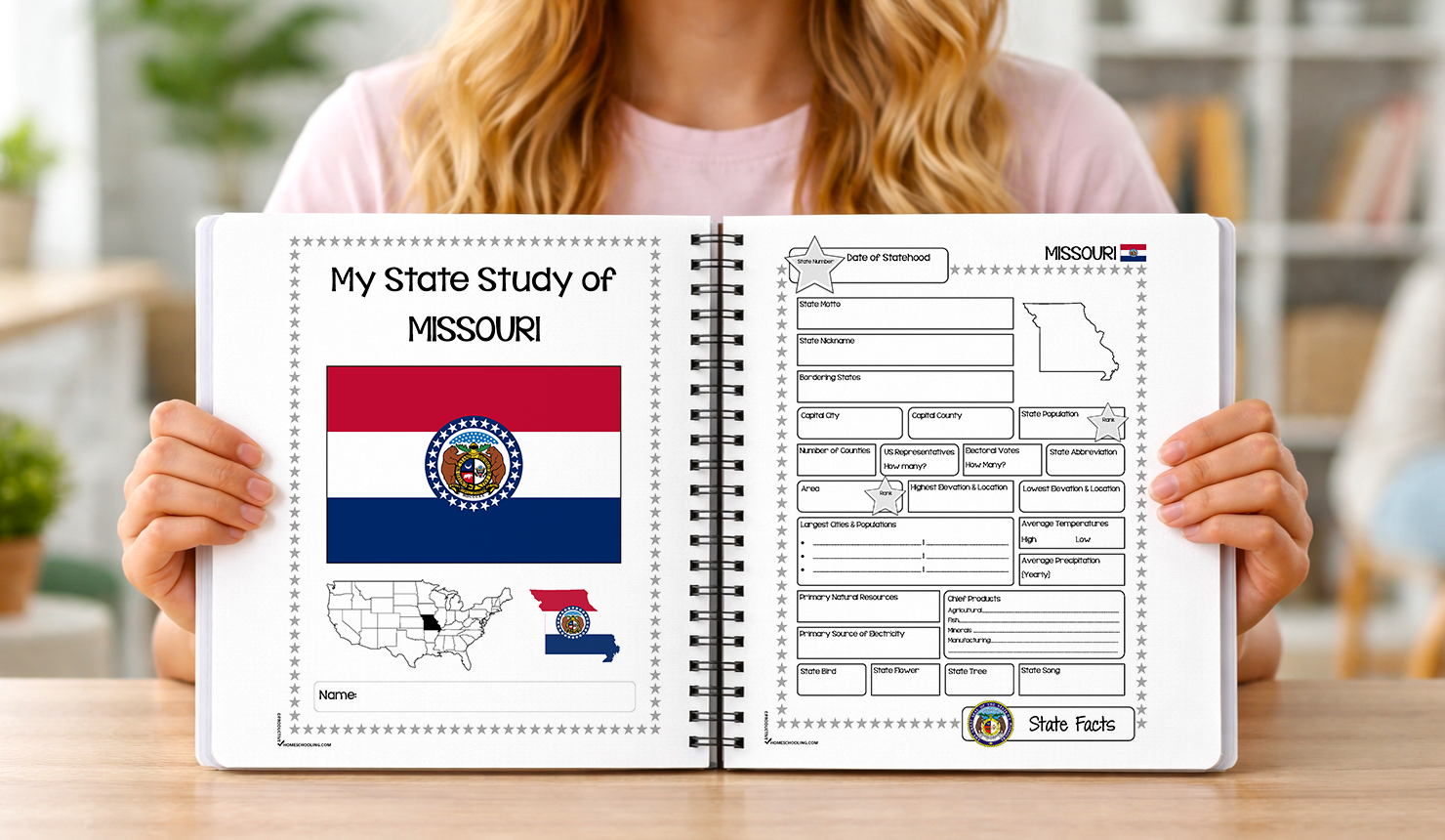
Explore America from its earliest colonies to its modern states, capital, and national landmarks. With the USA Notebooking Pages, students can record the facts, maps, symbols, leaders, and stories they encounter as they learn about each region. Make their U.S. notebooks personal and memorable.
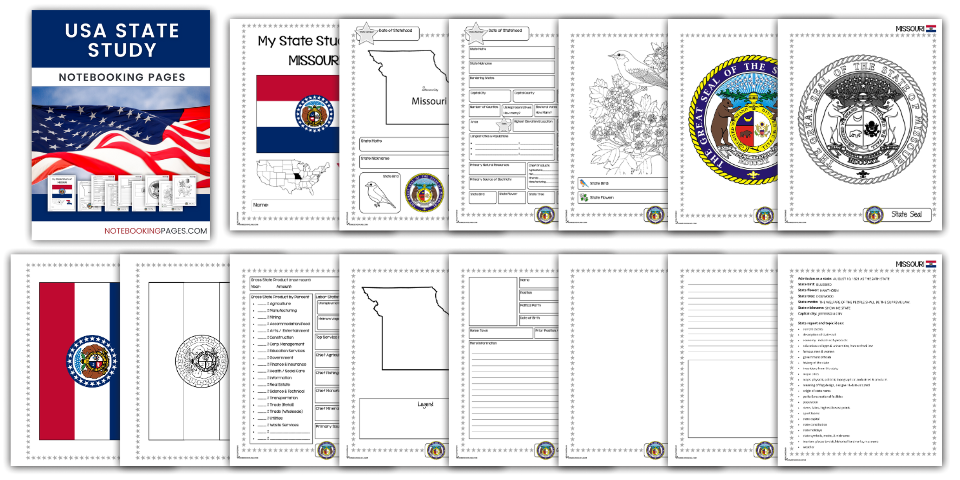
50 individual United States state study notebooking sets plus Washington, D.C. Each set contains nearly 300 notebooking pages.
Create a notebook for one state or all of the states (and the nation’s capital too!).
Each state study notebooking set includes:
- cover pages
- state fact pages
geographical data page - economic data pages
- USA map pages
- state map pages
- major cities pages
- timeline pages
- government leader pages
- famous person pages
- native tribes pages
- flora (plants) pages
- fauna (animal) pages
- landmark pages
- state symbol pages (cover page, state flag, state seal, state bird, state flower, state tree, state song)
- events page
- field trip pages
- travel journal pages
- blank general notebooking pages for topics
(any topic, economy, education, food & culture, famous person, flora & fauna, geography, government, history, landmarks, native tribes, science/technology, sports, travel & tourism) - state info sheet and ideas
- includes both standard and standard-dashed line options
USA National Memorials, Monuments, and Parks Notebooking Pages

Notebooking pages for more than 100 United States national monuments, memorials, and parks plus blank templates to add your own.
- 9 page layouts
- includes blank templates to add your own topic
- includes both standard and standard-dashed line options
Canadian Provinces Notebooking Pages
Explore Canada’s provinces, territories, and national themes in an organized, meaningful way. With Canadian Provinces Notebooking Pages, students can record the facts, maps, symbols, landmarks, and details they discover as they learn about each region. Make their study of Canada memorable.

13 individual Canadian province study notebooking sets.
Each province set includes:
- Notebook Cover
- Fast Facts & Figures Page
- Map Pages – Province
- Provincial Symbol Pages (flag & coat of arms graphics included)
- Famous Landmarks Page
- Blank Templates for:
- Your Own Topics
- Current Events
- Customs/Cultures
- Economy
- Famous People
- Food
- Geography
- Government
- History
- Inventions
- Language
- Population
- Science / Technology
- Tourism
- Wildlife
Country Study Notebooking Pages
Explore countries around the globe and capture what makes each one unique. With Country Study Notebooking Pages, students can organize facts, maps, symbols, landmarks, and cultural details they gather along the way.
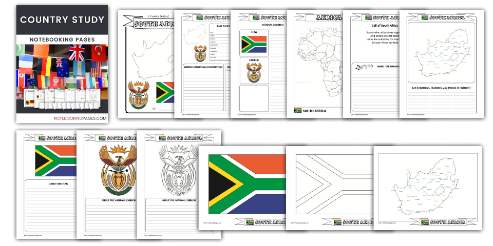
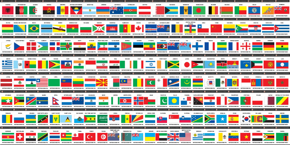
Nearly 200 individual country study notebooking sets.
Each country’s notebooking set includes these pages:
- Notebook Cover
- Fast Facts & Figures
- Geographical Data
- Economic Date
- Demographics Data
- Timeline Pages
- National Holidays
- Template Page
- Map Pages – Continent
- Map Pages – Country
- National Symbol Template Pages (flag & coat of arms graphics included)
- Famous Landmarks
- Types of Money
- Blank Templates for:
- Your Own Topics
- Current Events
- Customs/Cultures
- Economy
- Famous People
- Food
- Geography
- Government
- History
- Inventions
- Language
- Population
- Science / Technology
- Tourism
- Wildlife
- Province, State, Territories Fact Page
- Province, State, Territories report/narration pages
Explore the world! The Continental & World Maps Notebooking Pages includes map pages for the seven continents and globe-style, Mercator, and Mollweide world map layouts. Label countries, compare political boundaries, and record notes that reinforce what they’ve studied.
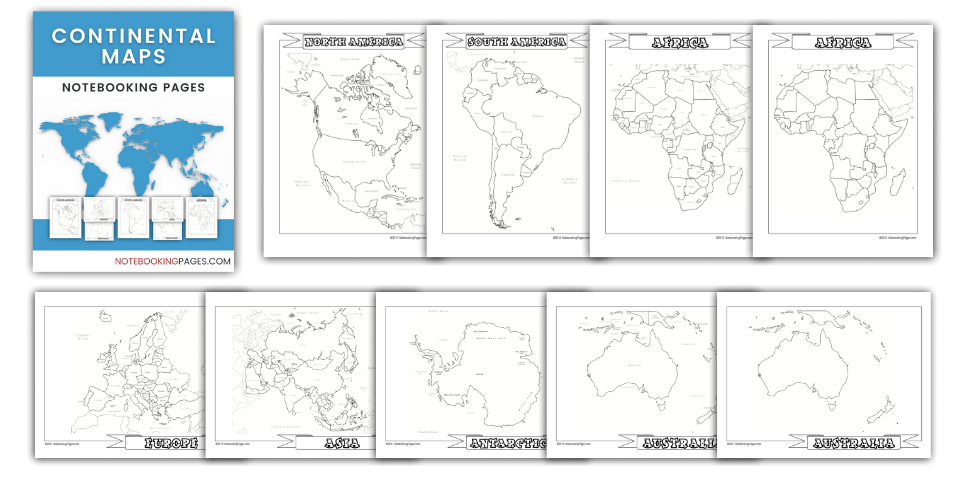
Continental Maps Notebooking Pages
This set of pages includes 2 black outline maps for each of the 7 continents. Maps include country borders with both labeled and unlabeled options.
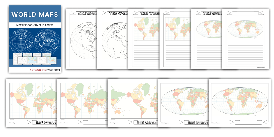
World Maps Notebooking Pages
- Globe-style maps & notebooking pages (16 layouts)
- Mercator-style maps & notebooking pages (15 layouts)
- Mollweide-style maps & notebooking pages (15 layouts)
- page to record map information
- standard and standard-dashed line options